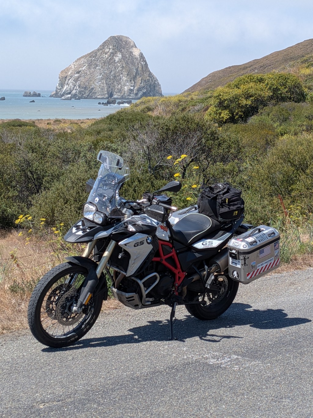
I have been planning on exploring this area for almost 50 years now. It looks like this will be the year and getting there will be half the fun!
One of my favorite roads in the state is Hwy 1 from Cambria to Monterey. It is a scenic and twisty tourist route, but if you have your timing down it can be enjoyed almost traffic free! This route has been closed for several years and has just re-opened this summer. You have got to do these things when the opportunity presents itself so here it is.
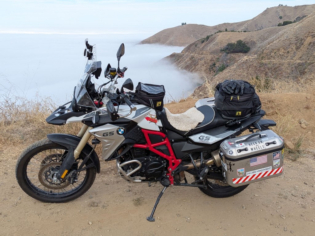
I’ll be riding my F800GS which I have not done many road trips on but it will be a good choice for this route. Some of the pavement on the lesser roads can be pretty rough so a dual sport bike should work well. It is not so nice on longer freeway runs but I try and avoid those when I can.
Day 1, SoCal to Cambria (340 miles)
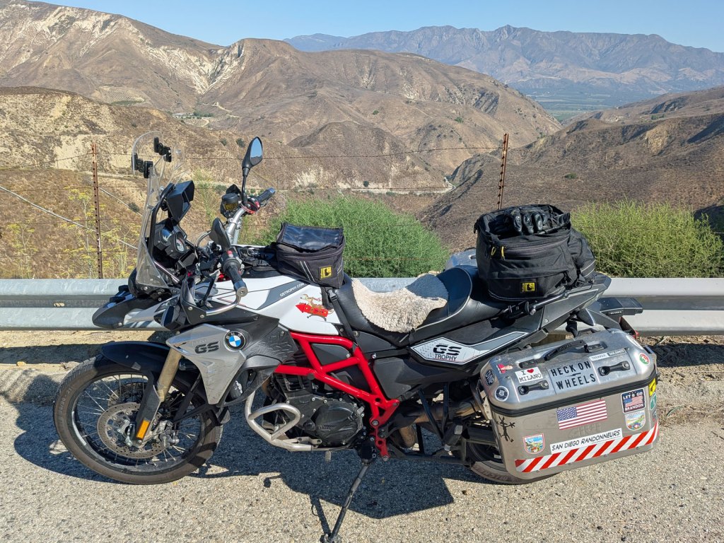
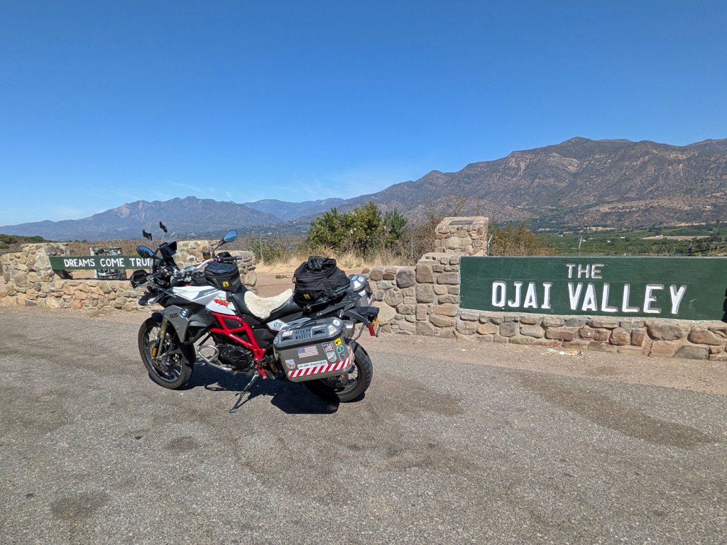
First things first, you gotta get out of town, and getting out of SoCal is never fun! My strategy is to leave early on a Sunday morning and ride straight through the heart of it while it is relatively quiet. Once I get past the Santa Barbara area things start to get less busy, and riding up the coast is a bit cooler than inland. Some fun side roads on the way include Balcom Canyon and Casitas Pass after Ojai.
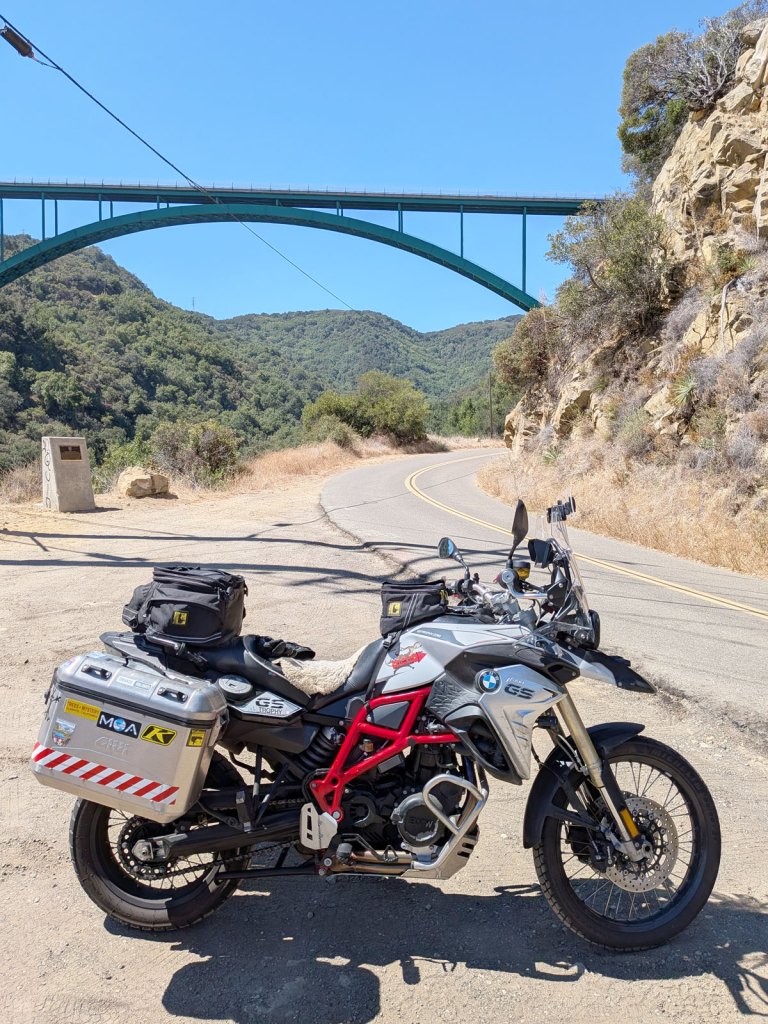
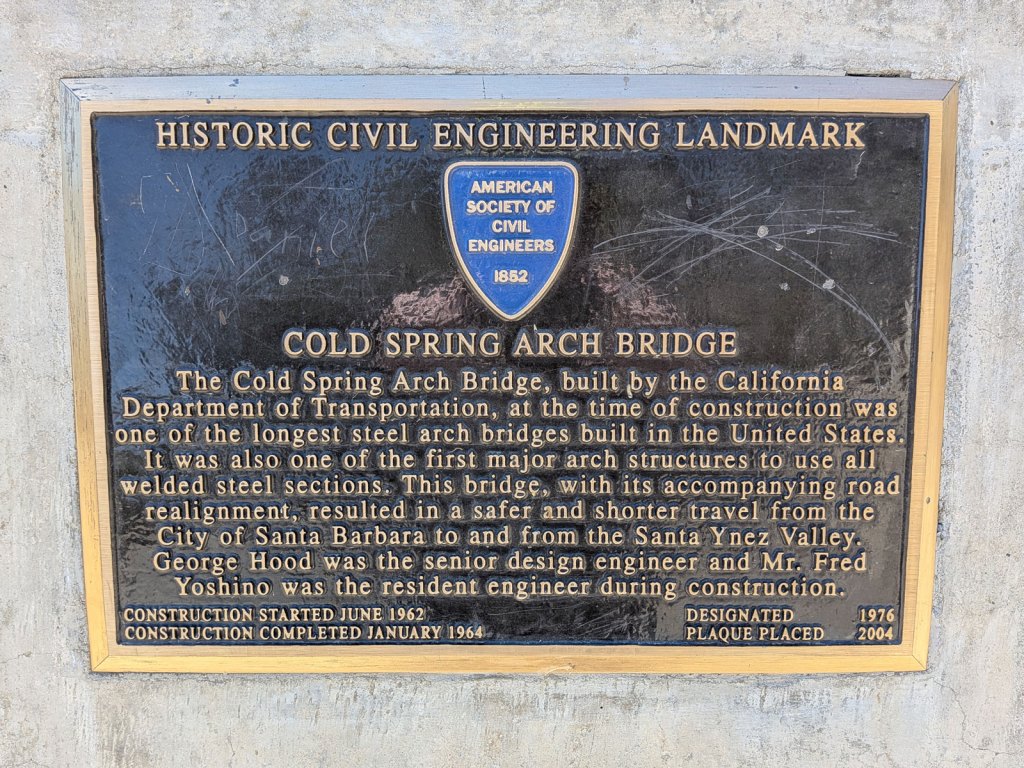
My first night stop is strategic, the little coastal town of Cambria at an off highway motel. Cambria Palms Motel is a budget friendly stop and within walking distance to a couple of good restaurants. It’s best feature however is it’s location to the best section of Hwy 1. With an early start you are almost guaranteed a traffic free run up the coast to Monterey! RV’s and tourist traffic can take the fun out of this beautiful road for a motorbike. I do love the scenery but it is a lovely section to ride and I have been here many times. This year I’m here for the turns!
Day 2, Cambria to Ukiah (340 miles)
A quick coffee and pastry at the Corner Bakery and I am off by 7:00 am. Normally it is only 100 miles to Monterey from here and with normal traffic this is usually a 3 plus hour run. But an early start will get you there after about 2 hours of slaying an empty Highway.
Unfortunately, part of Hwy 1 is closed again this year due to a forest fire to the north, but there is a little known detour available. About 40 miles up the coast at Mill Creek where Nacimiento-Ferguson Rd climbs away from the coast. It is a narrow winding road which first climbs through some redwood groves before hitting the crest and descending into the wilds of Fort Hunter-Ligget military base. This road is usually open to the public with occaisional closures for military training activity.
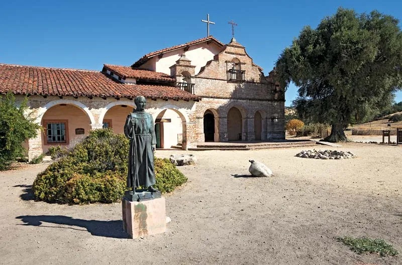
The landscape here is a classic oak forest with grasslands and is what much of California looked like in the past. This area has been spared much developement due to being a military base and is a throwback to the early days of the west. It is also the home of Mission San Antonio de Padua, the third of California’s missions founded in 1771 by Junipero Serra.
The surprise this year was my detour route back to the coast on Carmel Valley Rd. This unheard of backway cuts right through the heart of Steinbeck Country and through the Santa Lucia mountains. With almost no traffic and mostly good pavement, the 50 or so miles of twisties were a joy to ride.
After Monterey I’ll be staying on Hwy 1 all the way to Pacifica and then into San Francisco. There is no good way around the Bay Area and it’s traffic so it’s probably best just to get through it as quickly as possible and head north to my overnight in Ukiah.
Day 3, Ukiah to Crescent City (330 miles)
It was 97 degrees when I arrived in Ukiah yesterday but was in the low 60’s for my morning departure. I backtracked a little to Boonville and then follow the sweeping curves of Hwy 128 back to the coast and Hwy 1 at Fort Bragg for coffee stop. Temps had dropped back into the low 50’s so a break was in order.
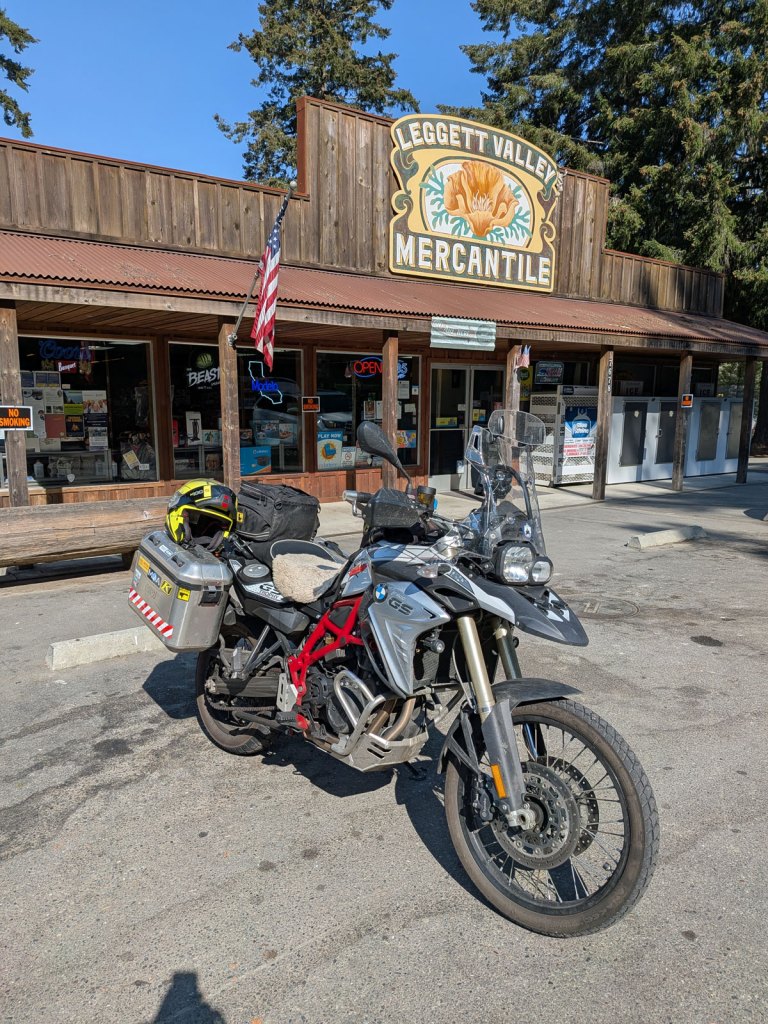
The section of Hwy 1 north of Fort Bragg is a classic motorbike ride! About 20 miles north the road turns back inland and climbs over the coast range back to Hwy 101. This recently paved piece offer more than 40 miles of “gold standard” riding according to Butler maps and it is hard to disagree! At the junction of Hwy 1 and 101 is the town of Leggett and my next stop.
Hwy 101 is known as the Redwood Hwy and it truly lives up to it’s name! So many groves of trees and many parks to preserve them. Exiting 101 onto the “Avenue of Giants” takes you through the heart of Humboldt Redwoods State Park. The scale of these trees is hard to comprehend with the tallest ones being well over 300 feet tall!
At the north end of this park there is a turn onto Mattole Rd which is the southern access to this remote area. With this turn I get the feeling that I am riding off the edge of the map and that beyond here be dragons! The reality is no less strange with isolated villages, wild country and pot farms.
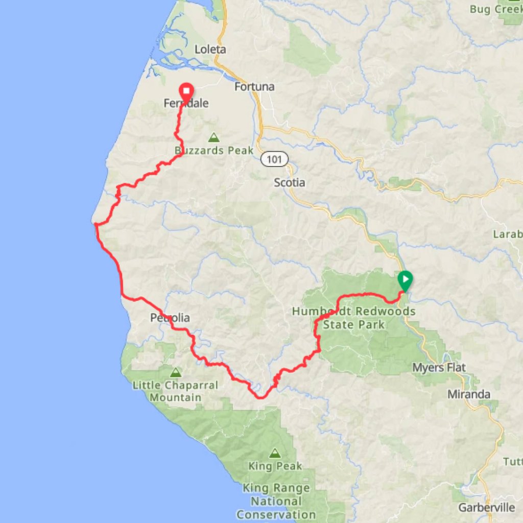
The road winds like a corkscrew, up and down hills, with bad pavement, hidden potholes and occaisional patches of dirt. The forest canopy over the road is Oak and Madrone and at times creates a tunnel over the road. The mixed sun and shade add an extra challenge to spotting road hazards, so riding a dual-sport bike is almost mandatory on this remote route. This section is the highlight of the ride and main reason to come.
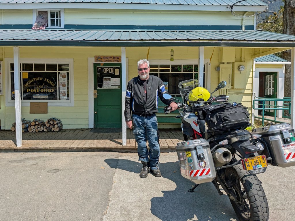
After about an hour on this road (22 miles) I arrive at the Honeydew store, a lone outpost in the wilderness. At mile 40 is the town of Petrolia and a few miles later I reach the ocean again at Black Sand Beach.
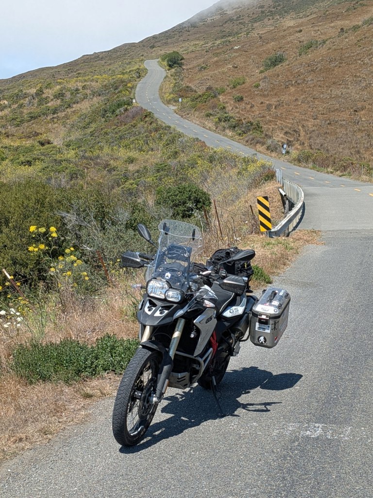
From here the road climbs back up over the coast range to Ferndale at about mile 70. The road surface gets a little better closer to the end and also has a bit more traffic, with maybe 2 or 3 cars an hour. After that I rejoin Hwy 101 and just shoot up the highway to my overnight stop in Crescent City.
The last leg home (320 miles)
Crescent City is pretty much the farthest NW city in the state. It has the services I need but little else of interest. Hwy 199 branches off 101 and follows the Smith River along it’s scenic path on the way to Grants Pass OR. It is the last of the “fun stuff” after which I just bomb up I-5 to home.
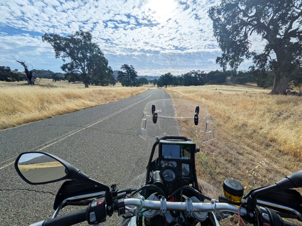
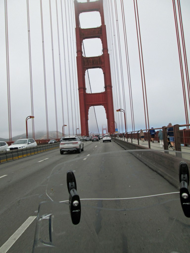
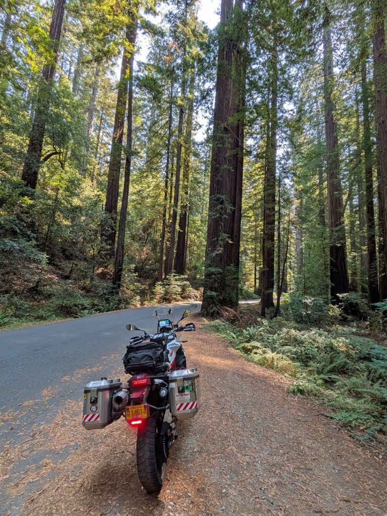

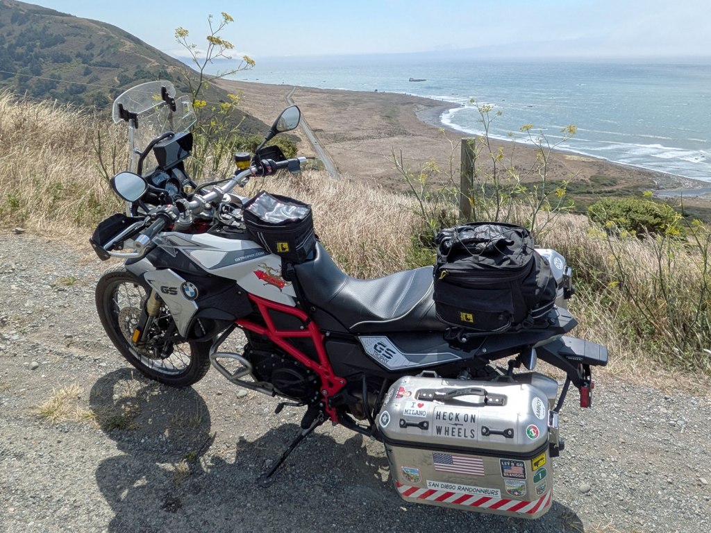
It was an excellent trip with mostly fine weather! There were some excellent sections of road broken up by some freeway and traffic but what can you do! My only real disappointment was the continued closure of Hwy 1 through Big Sur. I guess that I’ll have to catch that next time.


Leave a Reply